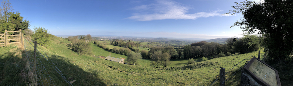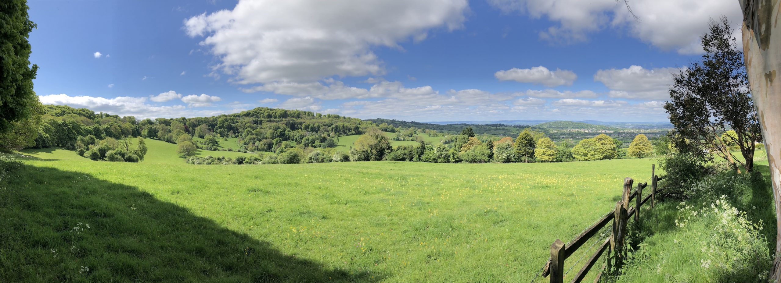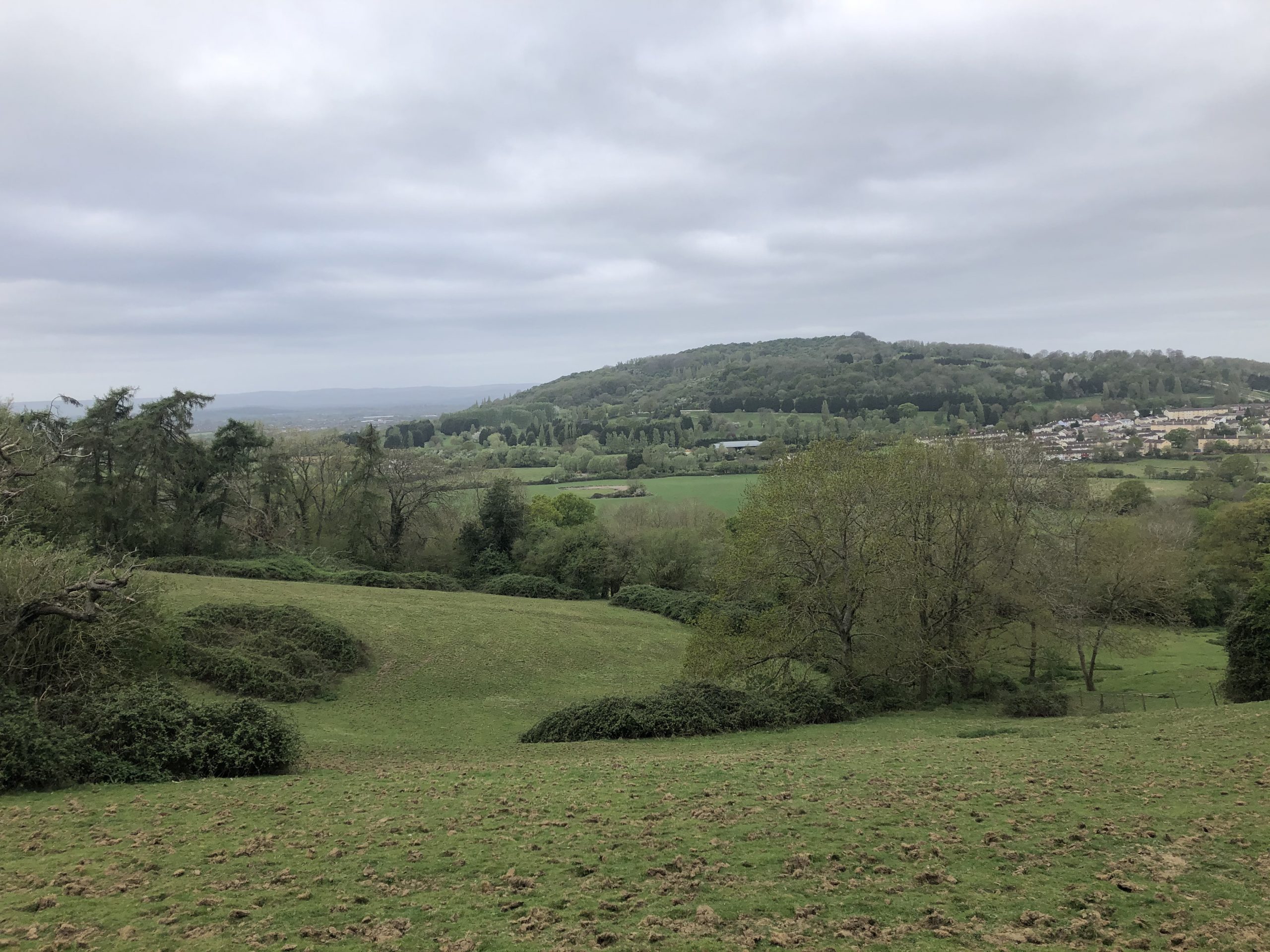

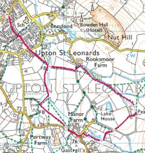
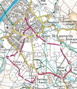
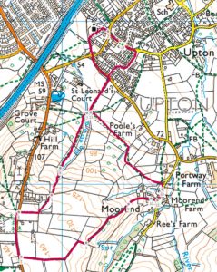
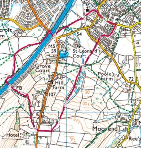
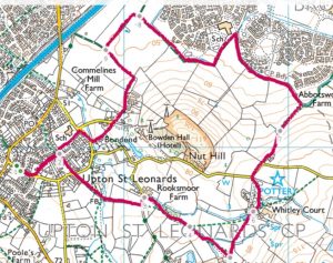
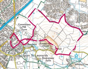
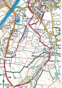
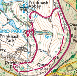
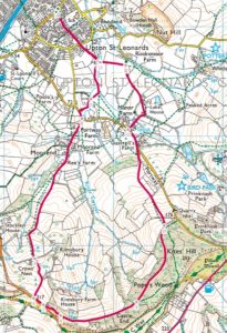
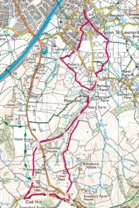
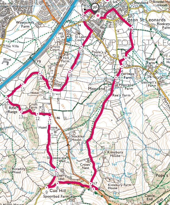
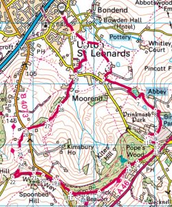
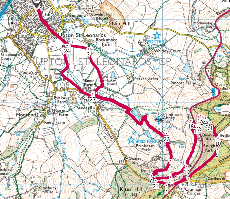
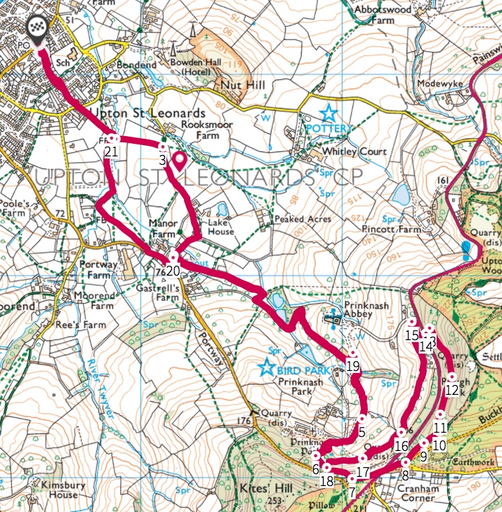
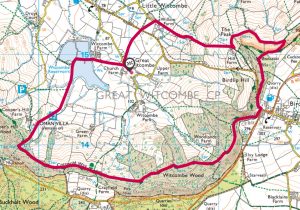
This walk is a mix of a number of walks and is one of my favourites.
It’s a reasonably demanding village walk and is not a beginners walk.
At over 8 miles with a higher gain of 1517ft this has its challenges, especially in the winter.
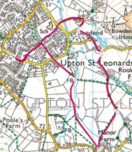
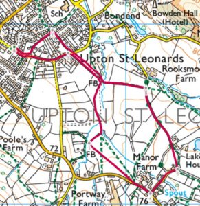
I’ve not detailed the route in great detail as you should be able to read a map for this walk….!!!!
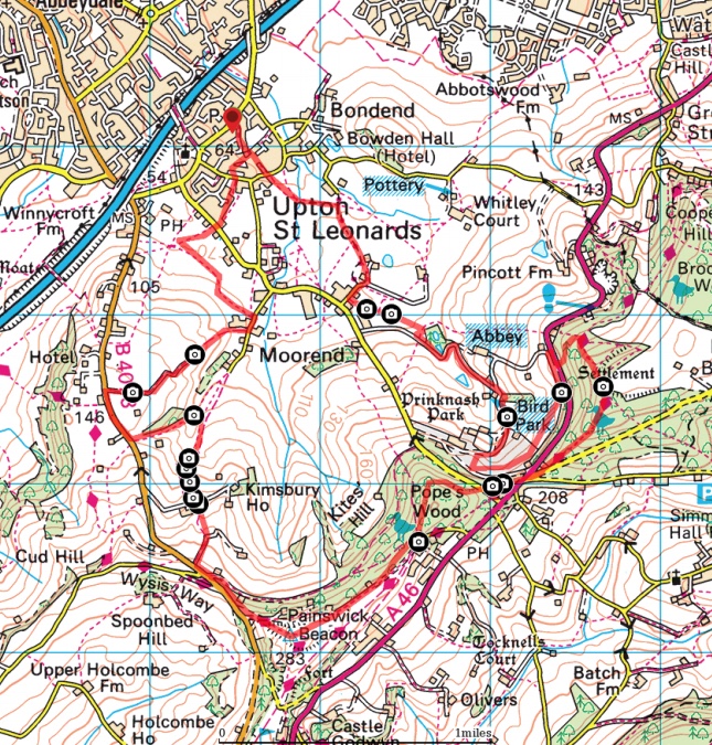
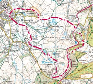
Click here for the OS Maps version. Or you can download the map by clicking on it direct to you device.
Or you can scan the code below for access to the walk in ViewRanger.